Challenge
Effective land and habitat management requires accurate information about vegetation cover, bare ground, landscape condition and site variability.
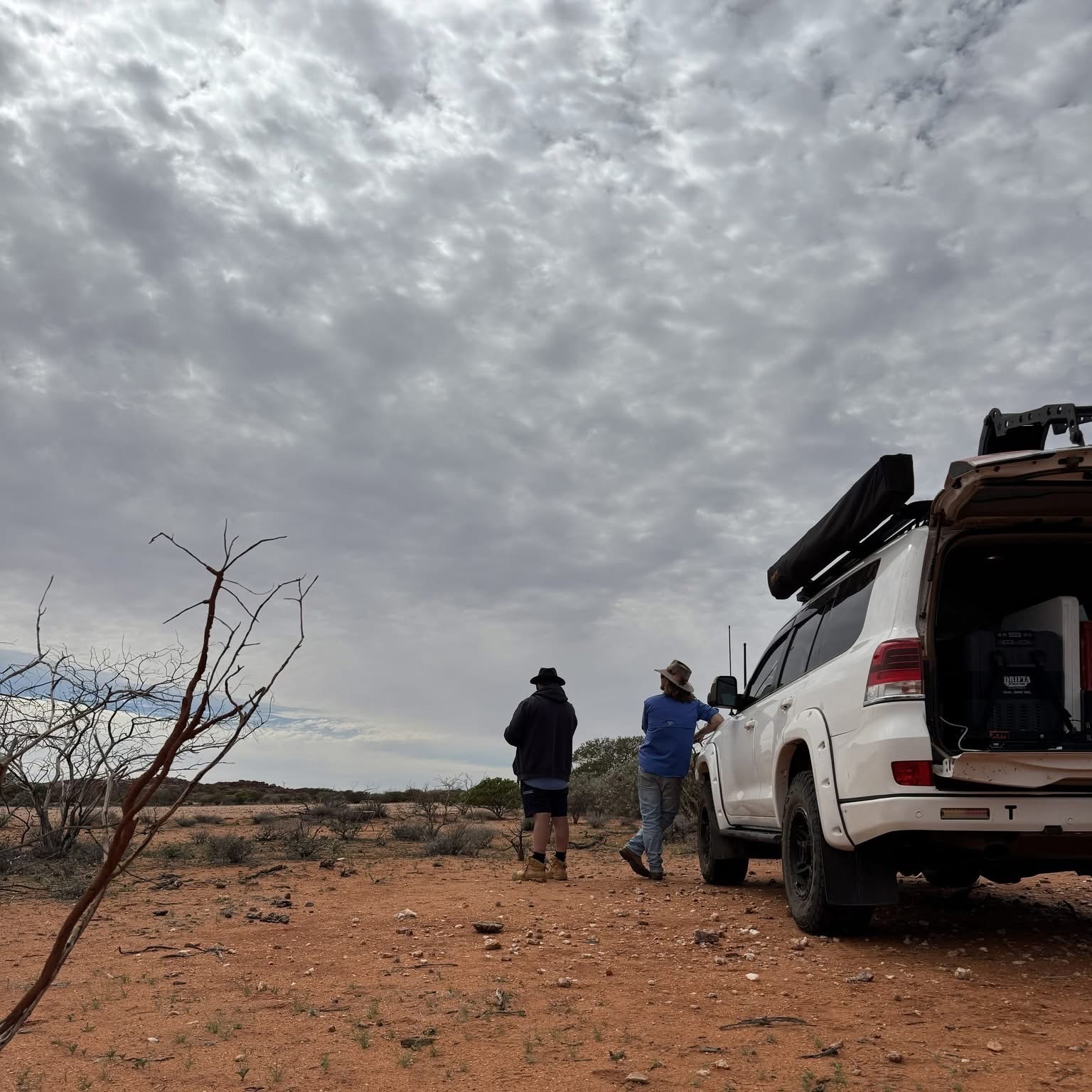
Across large pastoral landscapes, this information can be difficult to collect consistently using ground-based methods alone. Mt Clere Station required a practical drone-based survey approach to help assess habitat condition and provide spatial data that could support future land management decisions.
Solution
Rangelands NRM supported a drone-based habitat condition assessment at Mt Clere Pastoral Station to improve the quality and usefulness of landscape condition data. The project used multispectral and RGB drone imagery to capture information that can be difficult to assess consistently from the ground, including vegetation cover, bare earth and spatial variation across the site.
The project translated aerial survey data into practical outputs, including orthomosaic imagery, processed spatial layers and a final report.
These outputs provide a clearer picture of habitat condition and support future planning, monitoring and decision-making for sustainable land management in the Gascoyne Catchment.
Impact
This project strengthens the use of drone technology and spatial data in pastoral land management. By converting aerial survey information into practical mapping products, the project supports more targeted decision-making, improved monitoring of landscape condition and better evidence for sustainable land management across the Gascoyne Catchment.
Outcome
The Gascoyne Catchments Group Drone Survey program has established a scalable, technology-enabled monitoring approach that is transforming how catchment health is assessed and managed in the Gascoyne. By providing reliable, high-resolution data to land managers, the program is improving the efficiency and effectiveness of restoration investments and contributing to the long-term recovery of critical Gascoyne catchments.